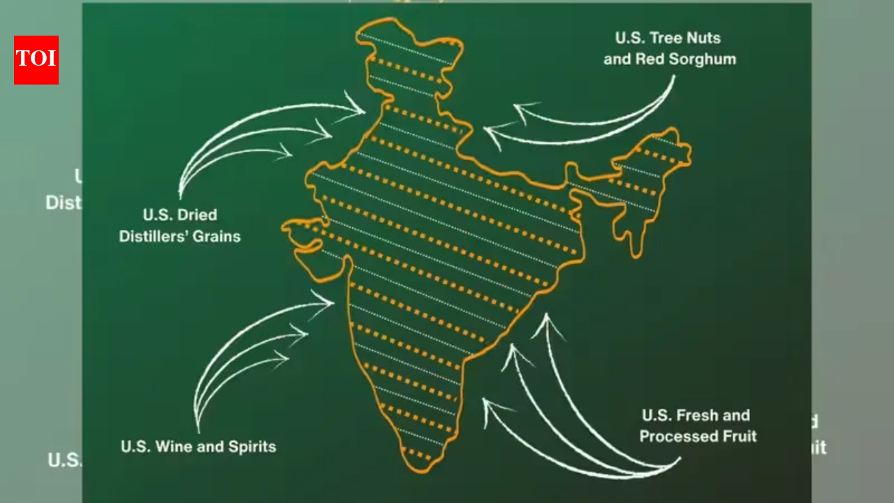
The Art of the Deal, drawn in ink: Trump’s map makes India the anchor
The Trump administration released a map depicting the entire Jammu and Kashmir region, including Pakistan-occupied Kashmir (PoK) and Aksai Chin as integral parts of Indian territory. This move, shared by the United States Trade Representative, accompanied an announcement of an interim trade agreement between the US and India. Analysts view this as a deliberate geopolitical nod to India's claims, potentially signaling a return of strategic support for India in the Indo-Pacific region. The release was described as "cartographic diplomacy" and marks a definitive end to decades of US neutrality in the region’s volatile borders.
16 FEB 2026
— The Hindu
The Congress party accuses Prime Minister Modi of signing an interim trade agreement that they claim undermines India's economic self-reliance and benefits American agricultural producers.
17 FEB 2026
— The Hindu
The PDP in Jammu and Kashmir called for an all-party meeting to address the potential economic hardship of the apple sector due to the impact of the India-U.S. trade deal.
— The Hindu
Kharge, Rahul, to meet Congress leaders from five States and J&K on February 20 to plan strategy against India-U.S. trade deal
To respect publishing rights, SatyaDheesh does not host full copyrighted news copy. You can read the complete article on the publisher's platform: