WORLD· 22 Aug
Kyoto Team Maps Satellite Drag with Starlink Data, Verifying ESA's Swarm
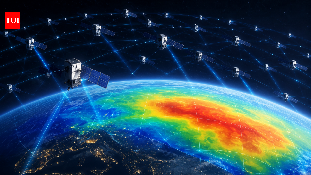
Researchers at Kyoto University used publicly available orbital data from about 1,200 Starlink satellites to estimate thermospheric density at an altitude of 482 kilometres. By applying tomography to slight orbital changes caused by atmospheric drag, they created a two-dimensional map showing geographic variations in density. This method provides independent verification through comparisons with ESA's Swarm satellite data and could improve models for predicting satellite motion and collision risks. The study was published in Earth, Planets and Space.
Full Coverage
To respect publishing rights, SatyaDheesh does not host full copyrighted news copy. You can read the complete article on the publisher's platform: